University at Buffalo Mobility Plan
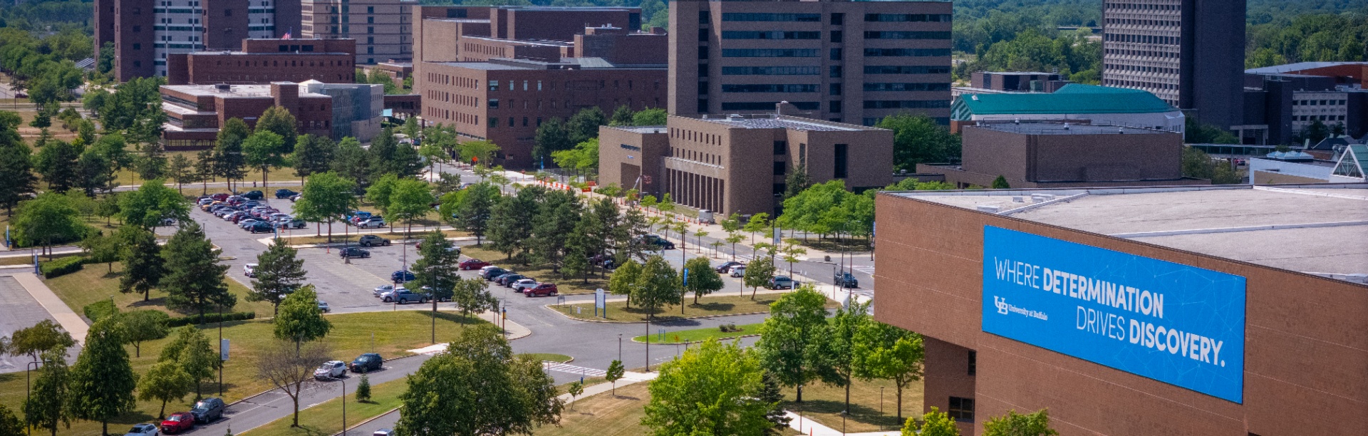

Parking and Transportation Services is dedicated to balancing the demand of parking allocation and transportation alternatives to best serve the university community. The University at Buffalo Mobility Plan will identify campus transportation needs and develop multimodal strategies to improve intercampus connectivity, character, and experience.
On This Page:
UB's comprehensive mobility plan addresses transportation challenges through data-driven analysis and extensive community input. The planning process began in early 2025 with an inventory of transportation options across all three campuses.
Goal 1: Identify Campus Transportation Needs
Document existing conditions and analyze transportation patterns across all three campuses to understand current challenges and opportunities.
Goal 2: Develop Multimodal Strategies
Improve intercampus connectivity, character and experience through comprehensive solutions that integrate all transportation modes.
The UB Mobility Plan follows a comprehensive development process from early 2025 through early 2026. We use what we learn about existing conditions, community feedback and national best practices to draft recommendations that will be refined based on input from campus partners.
Timeline navigation: Scroll left and right to view all phases.
Phase 1
Data Collection
Early 2025: Gathering transportation data, usage patterns and community input across all three campuses.
Phase 2
Community Engagement Part 1
Spring 2025: Town halls, surveys and stakeholder meetings to gather initial feedback and priorities.
Phase 3
Transportation Systems Analysis
Summer 2025: Technical analysis of current conditions, capacity and system performance.
Phase 4
Community Engagement Part 2
Fall 2025: Feedback on preliminary findings and proposed solutions.
Phase 5
Financial Analysis Development
Fall 2025: Cost estimates, funding sources and budget planning for recommended improvements.
Phase 6
Alternative Access Recommendations
Late 2025: Proposed solutions for each mobility component with implementation priorities.
Phase 7
Current Phase Final Plan Development
Mid 2026: Complete plan integration, finalization and preparation for implementation.
Phase 1 community engagement began in March 2025 and revealed critical insights about how UB moves. With over 5,200 survey responses and extensive community input, the data shows both challenges and clear opportunities for improvement.
Community Response and Infrastructure Stats
Community Response
- 2,078 student survey responses (7% of student population)
- 3,134 faculty and staff survey responses (39% of employee population)
- Virtual focus groups conducted
- Steering committee guidance
- Key campus departments consulted
Current Infrastructure
- 32,000 students served
- 6,000 faculty and staff
- 10+ shuttle and Stampede routes
- 50 bikeshare bikes
- 22 docking stations
- About 100 parking lots
- More than 15,000 parking spaces
Campus-Specific Data
North Campus
- 58% driving rate
- 65% of driving trips take under 5 minutes
- 27% of driving trips are 1 mile or less in distance
South Campus
- 22% driving rate
- 97% of driving trips take under 5 minutes
- 90% of driving trips are 1 mile or less in distance
Downtown Campus
- 32% driving rate
- 93% of driving trips take under 5 minutes
- 78% of driving trips are 1 mile or less in distance
💡 Key Insight: 77% of survey respondents commute to campus alone in their vehicles, indicating significant opportunities for transit, carpooling and alternative transportation solutions.
UB Shuttles and Public Transit Data
- Total Stakeholder Population: 26,951
- UB Stampede Ridership Potential: 5,023 (19%)
- UB Shuttle Ridership Potential: 10,507 (39%)
- Both UB Services, Ridership Potential: 10,517 (39%)
- NFTA Ridership Potential: 12,671 (47%)
- Comprehensive Service Ridership Potential: 15,770 (58.5%)
North Campus Parking Utilization
Data collected on April 24, 2025 reveals significant variations in parking demand across campus zones throughout the day. Understanding these patterns helps identify opportunities for better management and alternative transportation.
Morning Rush (8-10 a.m.)
90% Campus-wide occupancy by 10:00 a.m.
- Steepest increase in occupancy
- Front zone: 60% to 90%
- Campus-wide: 50% to 90%
Midday Plateau (10-2 p.m.)
80-90% Ellicott zone throughout the day
- Consistently high occupancy
- Limited availability in prime zones
- Peak academic hours
Zone Disparities
50-60% Villages & CFT zones (underutilized)
- Ellicott: 80-90% (high demand)
- Front: 60-90% (variable)
- Villages/CFT: 50-60% (capacity available)
💡 Key Insight: Some parking zones are overcrowded while others remain underutilized. This presents clear opportunities for improved wayfinding, real-time availability systems, shuttle services to underused lots and alternative transportation options to reduce peak demand in high-traffic areas.
Plan Elements: The foundation of our planning approach
- Local/regional plan review
- Existing conditions assessment
- Supply and demand analysis
- Financial planning model
Analysis Components: What we're examining in detail
- On and off-campus transit operations
- Mobile and paid parking operations
- Permit system and pricing
- Traffic flow patterns
- Existing and emerging technologies
Supply and Demand Focus: Understanding capacity and utilization
- Parking supply and demand analysis
- Transit supply and demand analysis
- Mobility utilization assessment
- Travel pattern analysis
Six Focus Areas
The UB Mobility Plan addresses transportation holistically by examining six interconnected components. Together, these focus areas will create a comprehensive transportation network that provides safe, convenient and sustainable options for getting around and between our three campuses.
Bicycling
Bike lane networks, secure storage, repair stations and bike-share program enhancements
Parking Operations
Permit systems, pricing strategies, enforcement and technology upgrades
Pedestrian Traffic
Walkway improvements, accessibility upgrades, wayfinding, safety enhancements
Event Parking
Special event strategies, overflow management, shuttle services, traffic coordination
Transit
Optimizing campus shuttle services, improving public transit connections, and enhancing overall service quality
Micromobility
E-scooter policies, designated parking areas, safety regulations and pilot programs