Buffalo-Olmsted Parks Project
- Terrain model of the entire City of Buffalo
- Toggle Proposed Park Improvements
- GIS Layer Integration
Project Details:
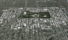
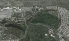
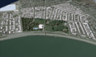
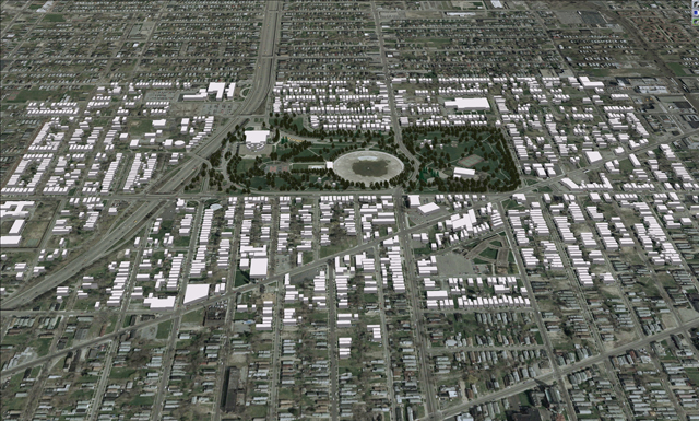
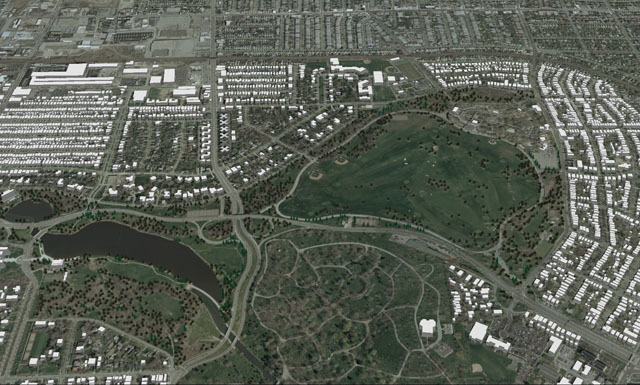
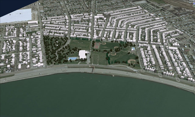
Working with the Urban Design Project from the urban planning department at UB, CCR is part of a team working on the revitalization of Buffalo's Olmsted Parks system. Using aerial photography, a model of the entire city of Buffalo was constructed allowing one to fly the entire network of parks and parkways in order to study each park individually, as well as the connections in between. GIS layers can be toggled on and off showing the major roadways as well as protected, unprotected and possible greenspace throughout the region.
Each park was modeled in full 3D with accurate tree plantings for both a summer and winter condition as well as mass modeled homes and structures surrounding each park for up to three city blocks. The model became a valuable tool to assess the current conditions and plan for possible changes and improvements to the parks and overall system for the next 20 years.
Project Owner:
Olmsted Parks Conservancy